Intro and History
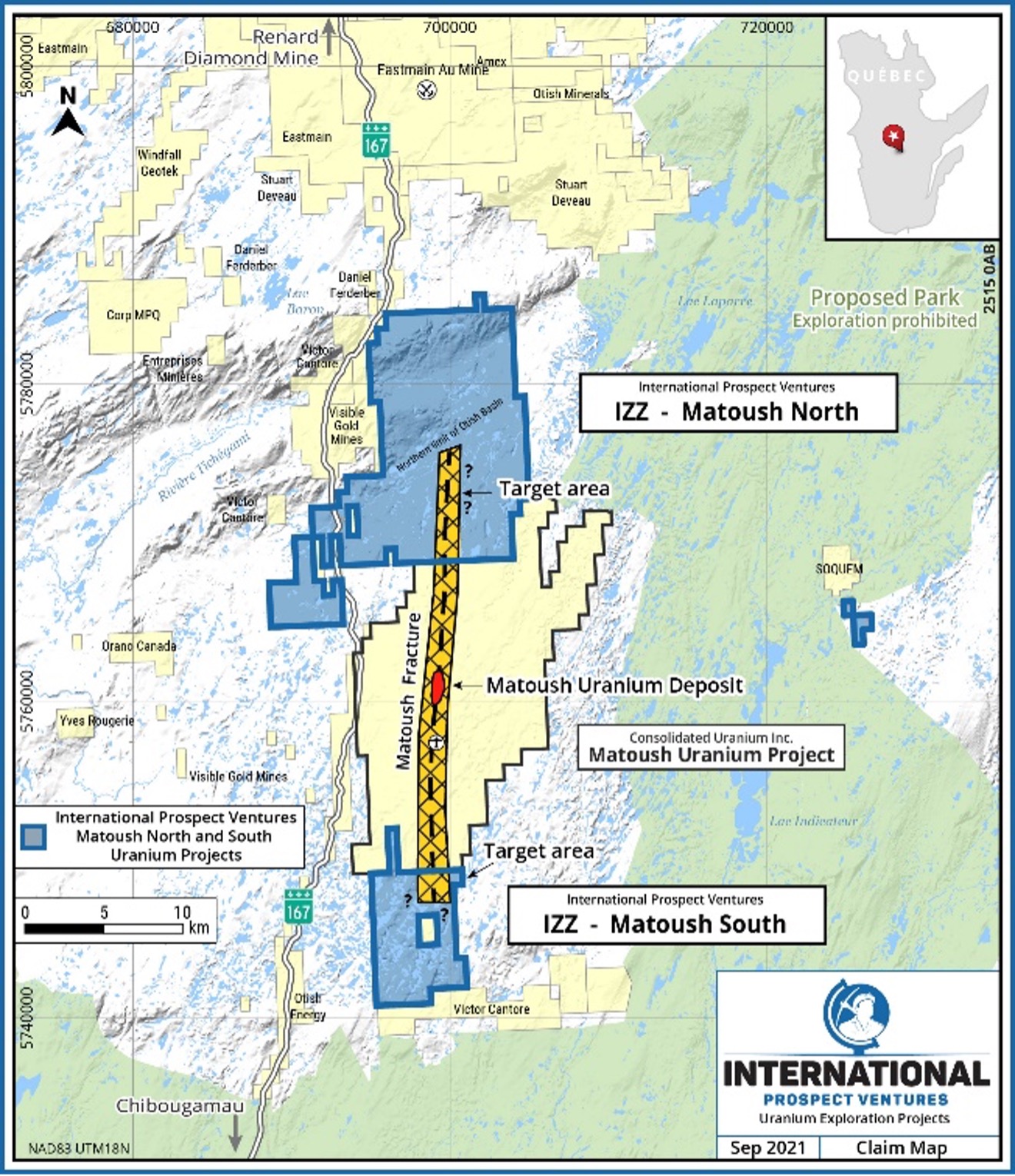
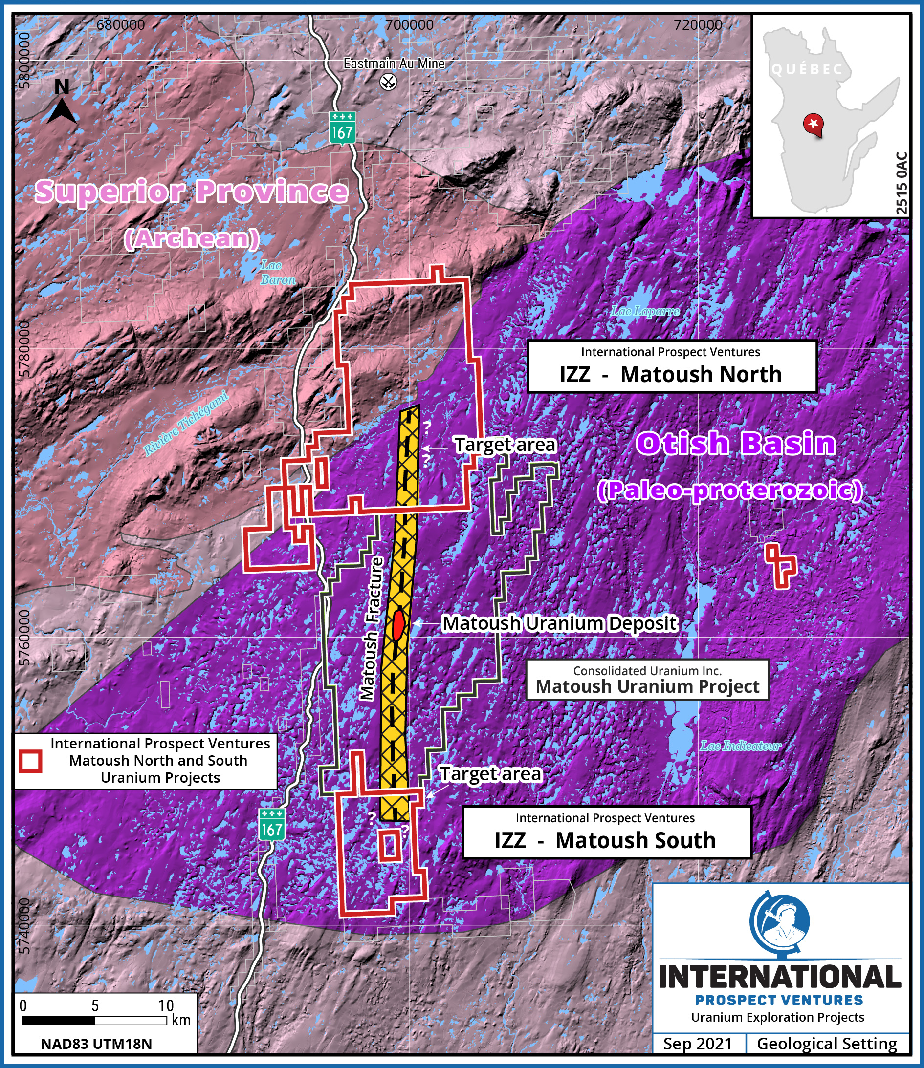
The Matoush-Otish Mountain Property comprises the Matoush North and Matoush South properties, which are geologically located in the prospective Paleo-proterozoic sedimentary Otish Basin, Quebec. Both of the properties share a common border with Consolidated Uranium Inc.’s Matoush Uranium Deposit and Project area that contains the well documented large, high-grade Matoush Uranium Deposit.
The additional Matoush North and Matoush South claims were acquired through recent staking programs and the Company now controls the mineral rights across a total of 21,530 hectares that is prospective for uranium.
Prior Work
From 2007 to 2011, the Company’s Matoush North Property (previously the Otish West Property), along with its Mistassini Uranium Project (~911 ha), were part of a joint venture between Uranium Valley Mines (now International Prospect Ventures) and a prior Joint Venture partner. The Joint venture spent a total of C$2.8 million on exploration programs exploring the area until work was put on hold, due to regional social issues on uranium development, which also coincided with a decline in world uranium prices.
Uranium mineralization at Matoush and within the basement penetrating Matoush Fault Complex or Matoush Fracture System, is concentrated in a series of high-grade uranium lenses that occur intermittently along at least 3 km of the north-south structural corridor. Uranium mineralization is typically associated with intersections between the Matoush Fault Zone and apparent paleo aquifers.
On December 7, 2012, Strateco Resources Inc. reported a historical mineral resources from the Matoush Uranium Deposit that contained Indicated Mineral Resources of 586,000 tonnes at 0.954% U3O8 and Inferred Mineral Resources of 1,686,000 tonnes at 0.442% U3O8 (see Strateco news release dated December 7, 2012).*
Roscoe Postle Associates Inc. reported the resource estimate for the Matoush uranium project in accordance with National Instrument 43-101, following CIM Estimation of Mineral Resources and Mineral Reserves Best Practice Guidelines (2003), and using drill results available to November 22, 2012. The Indicated resource is contained in the three main zones: AM-15, MT-34 and MT-22 and the Inferred resource is contained primarily in 6 zones: MT-22, MT-34, AM-15 Extension, MT-02, MT-06 and MT-36 zones. These zones are present over a strike length of 3 km.
Geologically, the Matoush Fracture System is interpreted to occur over a north-south strike length of approximately 15 km, which is projected to cross into the Matoush North Property controlled by International Prospect Ventures. The possible southern extension of the Matoush structure into the Matoush South Property has yet to be determined. The northern extent of the Matoush structure is geologically interpreted to terminate at the northern edge of the Otish Basin and the same can be expected with respect to the southern extension.
News Releases
November 23, 2004 | Golden Valley Mines Acquires Québec Uranium Properties
January 11, 2007 | Announces Uranium Joint Venture in Québec with Lexam Explorations Inc.
April 5, 2007 | Uranium Project Update - Athabasca Basin, Saskatchewan and Otish Basin, Québec
August 3, 2007 | Mistassini and Otish Basins Uranium Projects Exploration Update - Airborne and Ground Programs Underway
October 1, 2007 | Mistassini and Otish Basins Uranium Projects Exploration Update - Fall 2007 Ground Follow-up Program Underway
January 26, 2008 | Near Surface Uranium mineralization extended at Takwa Showing 0.13% U3O8 over 1.65 m
April 8, 2008 | Historical Drillhole Compilation Completed Uranium Zone Identified – Grades up to 0.51% U3O8
June 18, 2008 | 2000 m Drill Program Underway
August 29, 2008 | Otish Basin Uranium Exploration Project Update Phase 1 Drill Program and Airborne Survey
November 3, 2008 | Drilling Update: Near surface high-grade Uranium mineralization intersected 0.42% U3O8 over 2.37 m, incl. 1.63% U3O8 over 0.56 m & 2.02% U3O8 over 0.37 m
December 16, 2008 | Near Surface Uranium mineralization extended at Rivière
February 24, 2009 | Near Surface Mineralization Extended at Rivière Cheno Ouest Showing 0.072% U3O8 over 6.33 m, incl. 0.196% U3O8 over 1.46 m
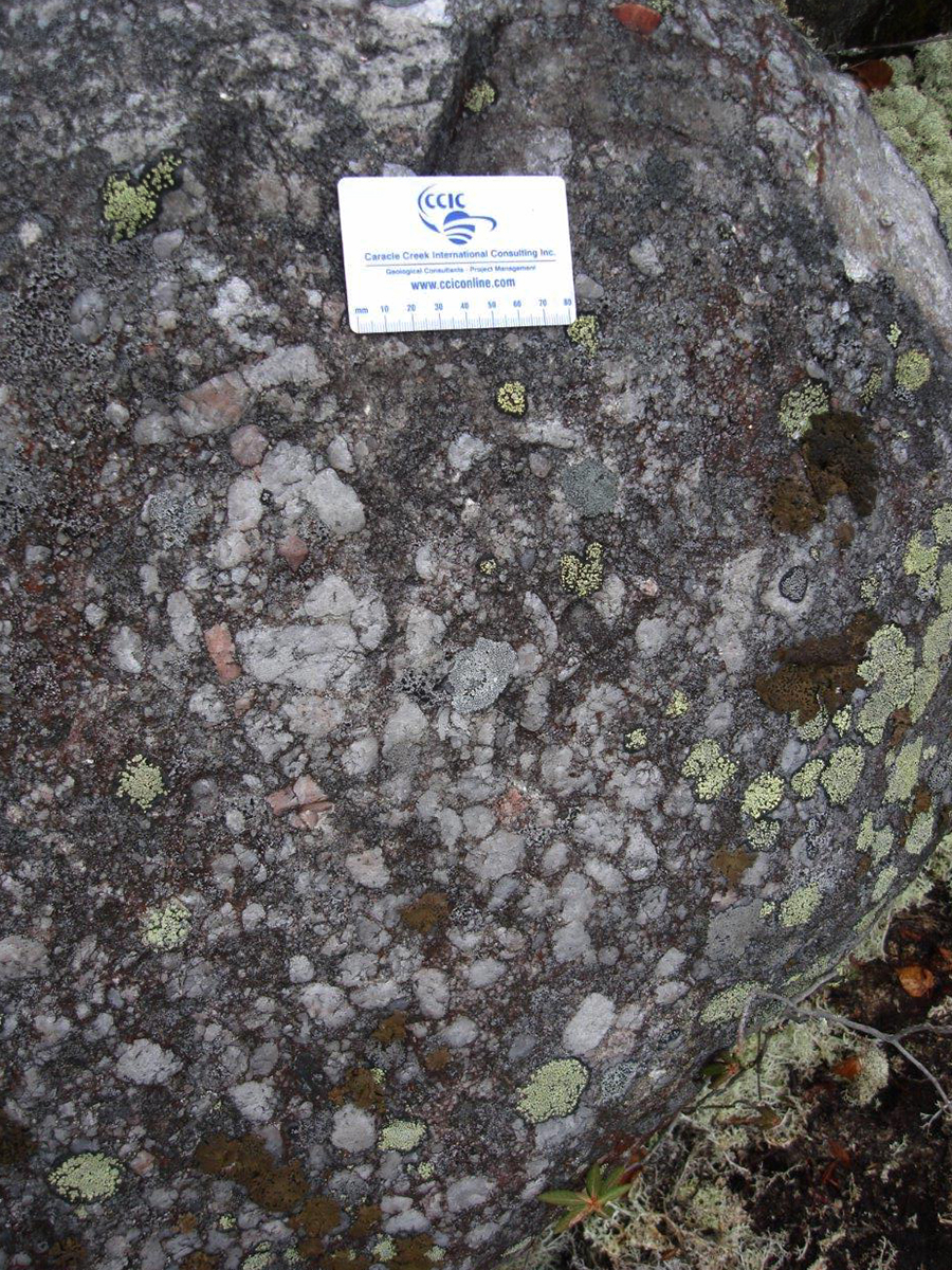
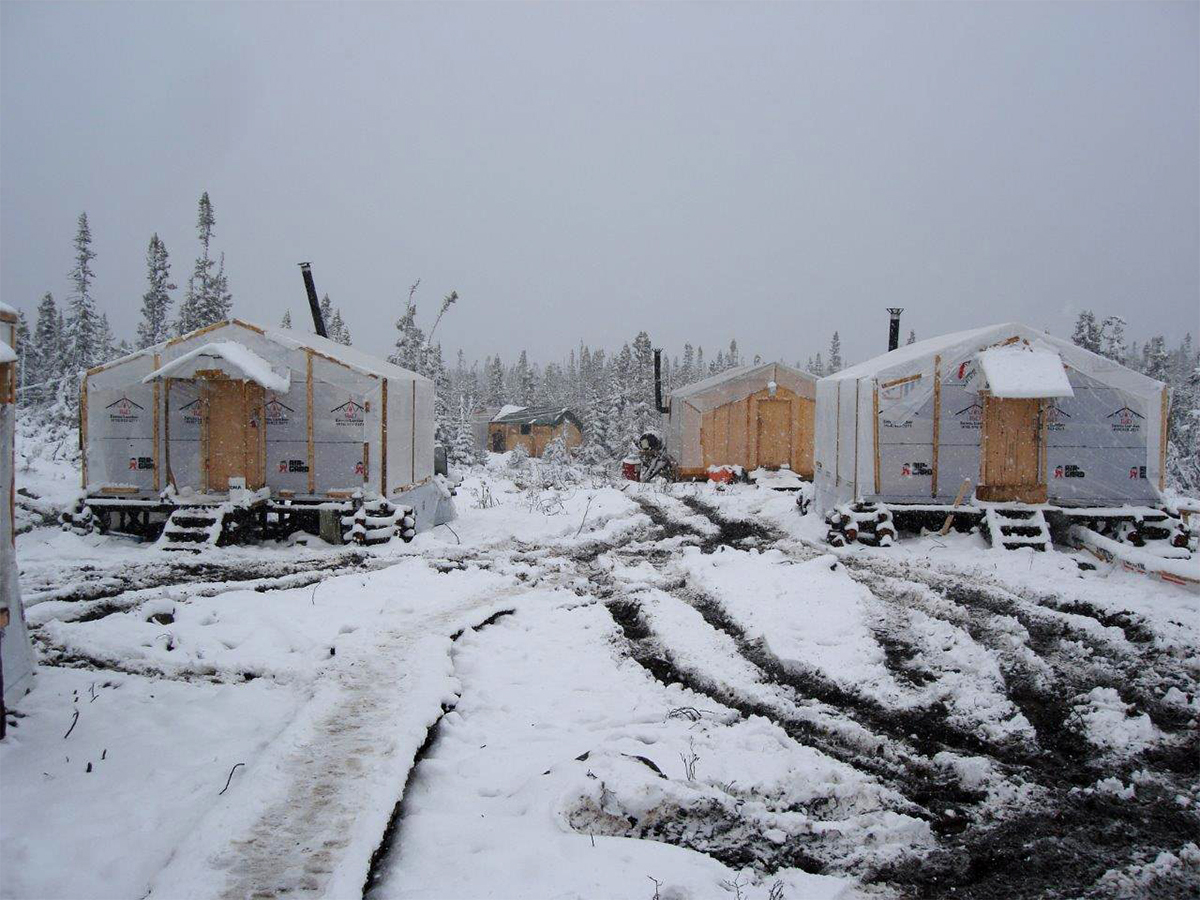
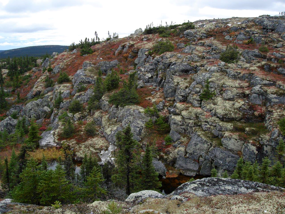
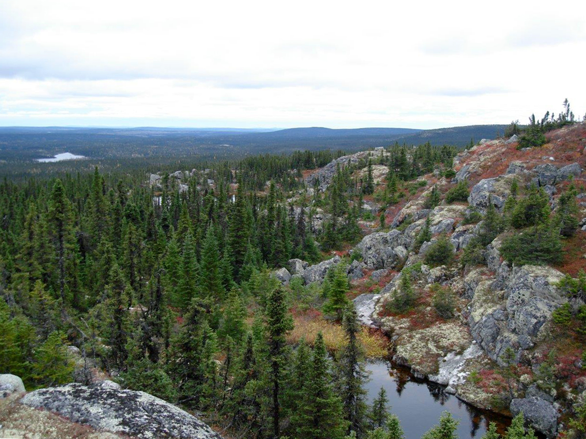
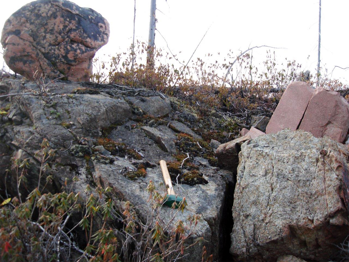
Area and Project Photos
Technical Report:
NI 43-101 Technical Evaluation Report on the Mistassini-Otish Property (2010)
Our Plan
The Company’s initial work plans for the area will consist of desktop studies and historical data compilation of all available data including regional radiometric and satellite imagery surveys.
*A Qualified Person, as such term is defined in National Instrument 43-101, has not done sufficient work to classify the historical mineral resource estimate as current mineral resources, has not independently verified the historical information set out above, and therefore International Prospect Ventures is not treating the historical mineral resource estimate as current mineral resources.


